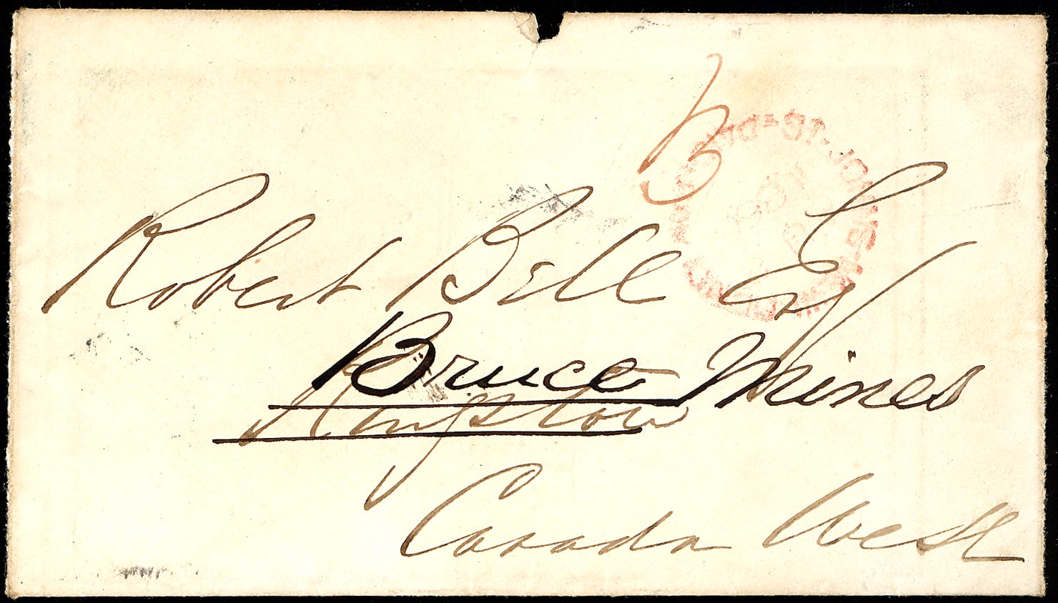
1866 St. John’s, Newfoundland, to Bruce Mines, Bell Expedition
$200.00
Out of stock
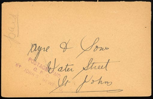
1866 St. John’s, Newfoundland Paid (Au 8) to Kingston, UC, and redirected to Bruce Mines, CW to to Robert Bell, of Bell Expedition fame., rated 3d.
Reverse with Montreal and Kingston transit bs.
From Wikipedia:
In 1863, Bell became a chemistry and natural sciences professor at Queen’s College in Kingston, Ontario. He continued to do fieldwork for the GSC over the summers. In 1867, he left Queen’s to join the GSC full-time.
In 1869, the GSC made Bell a permanent officer, and he spent the rest of his career there. He was promoted to Assistant Director (1877), Chief Geologist (1890), then Acting Director (1901-1906). He was saddened that he was never appointed Director of the Survey. In November 1908, Bell retired.
During his 52-year career at the GSC, Bell led many extensive explorations in northern Quebec, Ontario, Manitoba, the eastern Arctic, Saskatchewan prairies and the Athabasca oil sands. He is credited with mapping the rivers between Hudson Bay and Lake Superior.
As was the case with all GSC geologists of the time, Bell collected specimens and made notes on geology, flora and fauna, indigenous populations, climate and soil and exploitable resources. His GSC colleagues dubbed him the father of Canadian place-names because he is credited with naming over 3,000 geographical features in Canada. Bell wrote over 200 reports and papers, mostly on geology, biology, geography and ethnology.[3] During his lifetime, he saw his extensive body of fieldwork put to a significant purpose. The planners of the third trans-continental railway, the Grand Trunk Pacific, were able to use the vast compendium of information in Bell’s reports as the preliminary reconnaissance work required to plan the track route from Quebec to Winnipeg
| Weight | 0.03 kg |
|---|---|
| Dimensions | 20 × 15 × 0.125 cm |
Related products
Newfoundland
British North America
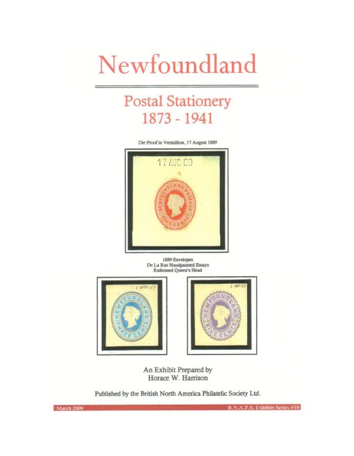
Harrison, Horace W. (2000). Newfoundland Postal Stationery 1873-1941.
Meter and Permit
Newfoundland
Newfoundland

